Hidden in the undergrowth are signs that not so long ago the landscape was a hive of industrial activity, from lead mines to iron works, quarries to canals. A far cry from the peace and tranquillity we enjoy today.
Loggerheads Country Park Industrial Heritage
Lead and Leats
Nowadays it’s hard to imagine that this peaceful valley was once industrial with waterwheels, tunnels, tramways, water channels and numerous ever growing spoil heaps. There is a long history of lead mining in the area.
The lead ore is found in several mineral veins in the limestone that run approximately northwest – southeast.
Many spoil heaps are hidden beneath vegetation but none of the mining machinery remains. The most visible structure is a large stone wheel-pit near the wooden bridge in Loggerheads, that used to house a 40 feet diameter water- wheel. This wheel was powered by water from a leat (a man-made water channel) that ran from the mill pond near the car park. On the east bank there is the remains of a water turbine pit that would have been served by a different leat. Both the turbine and the water-wheel were used to pump water from the Glan Alyn Mine in the 1860s.
The dramatic Devil’s Gorge is an impressive reminder of the industrial past as it was formed when a wide vein of white spar was mined in the 19th century.
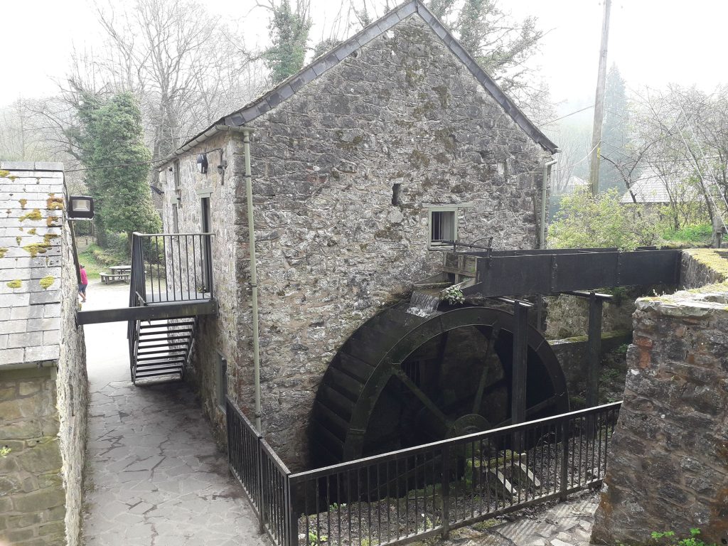
Pentre Mill
Water was used to power several mills on the River Alyn. Pentre Mill, in the Country Park, dates from at least the late 18th century. The mill originally ground corn but became a sawmill in the late 19th century. A dynamo was added in the 1920s to generate electricity for local houses. Locals also brought their radio batteries for charging!
Quarrying
Cefn Mawr limestone quarry, to the north east of the Country Park, was opened in the late 1940s to provide limestone for the cement works at Padeswood, which was the first cement works built in the UK after World War II. The quarry continues to supply stone for the cement works and has also donated stone to the Country Park to re-build walls and improve paths. There are also two small, disused quarries within the park boundary that were worked on a smaller scale. Limestone from one quarry was burned in an adjacent limekiln to produce lime for mortar and for spreading on fields to sweeten the soil. In the late 19th century lead miners found valuable deposits of very pure silica sand and fireclay at the Glan Alyn mine, which was quarried for use by iron and brass founders.
Pontcysyllte Aqueduct and Canal World Heritage Site
Watch this Life by the Water film to see the highlights of the 11 miles of stunning canal and countryside spanning two countries, along aqueducts, tunnels and viaducts.
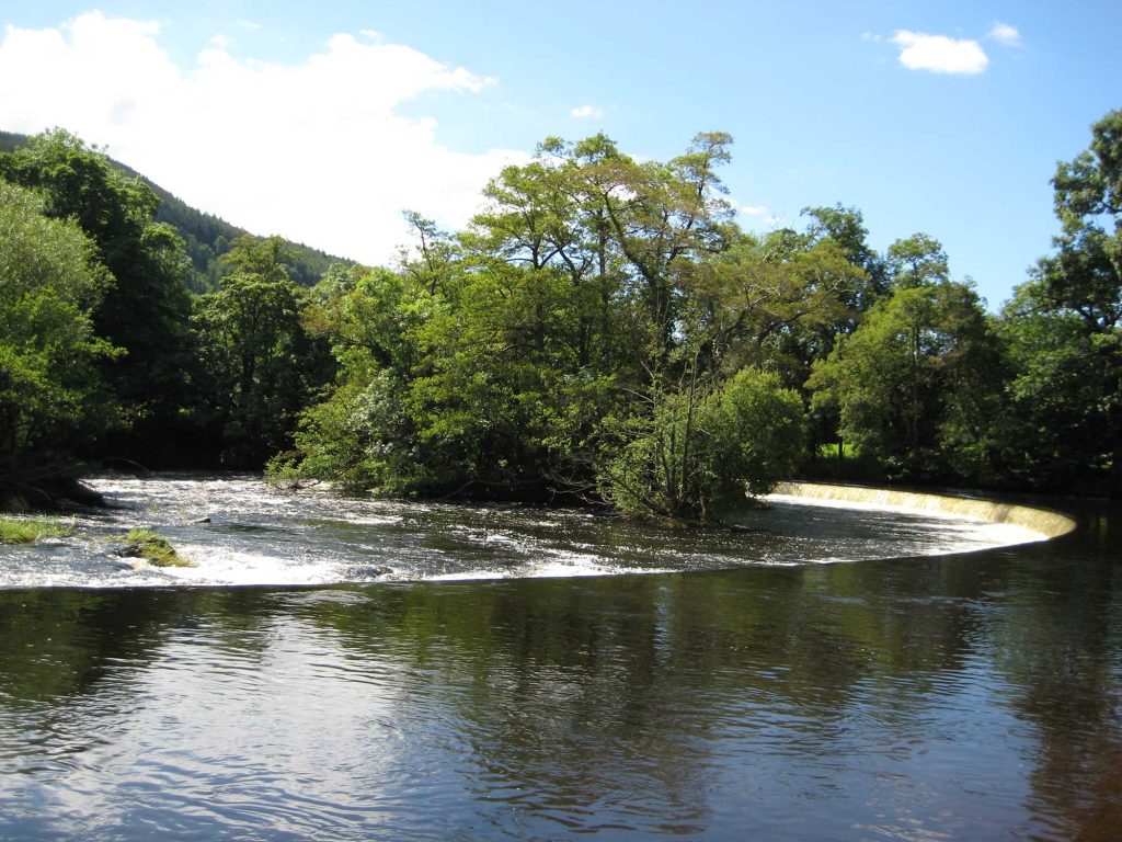
Horseshoe Falls
Completed in 1808, Thomas Telford designed this elegant 140m horseshoe-shaped weir to divert water from the River Dee into the Llangollen branch of the Shropshire Union Canal . It’s an impressive piece of engineering, but what makes it so remarkable is that for all its industrial purpose, it enhances the beauty of the surrounding landscape.
Did You Know
There are gently sloping meadows on either side of the falls, dotted with ancient trees and livestock, where generations of people have come to enjoy the views and picnic.
With the decline in the use of canals for commercial traffic, many fell into disrepair and were lost. The survival of the Llangollen Canal is due to the water drawn from the River Dee at Horseshoe Falls not only feeding the further network of canals, but also supplying water to Cheshire – as it still does today. In 2009 UNESCO designated Horseshoe Falls as part of the Pontcysyllte Aqueduct and Canal World Heritage Site.
You can cross the channel at the Meter House which regulates over 12 million gallons of water drawn to the canal every day. Travel along the canal towpath into Llangollen less than two miles away, from there you can continue exploring the World Heritage Site by taking a leisurely canal boat from Llangollen Wharf and across the Pontcysyllte Aqueduct – the most popular canal journey in Britain.
Did you know
You can see the Pontcysyllte World Heritage Site and the Horseshoe Falls on this spectacular virtual flythrough of the Dee Valley.
Minera Country Park
Minera Lead Mines and Country Park offers a fascinating glimpse into the industrial past of the beautiful Clywedog Valley. Situated at the head of the valley, Minera is a great starting point for accessing the beautiful surrounding countryside, including Minera Mountain for dedicated walkers.
Covering 53 acres of grassland, woodland and archaeological sites, Minera Country Park boasts a great variety of wildlife and endless opportunities to explore in peace and tranquillity.
Click here to find out more or plan a visit to Minera.
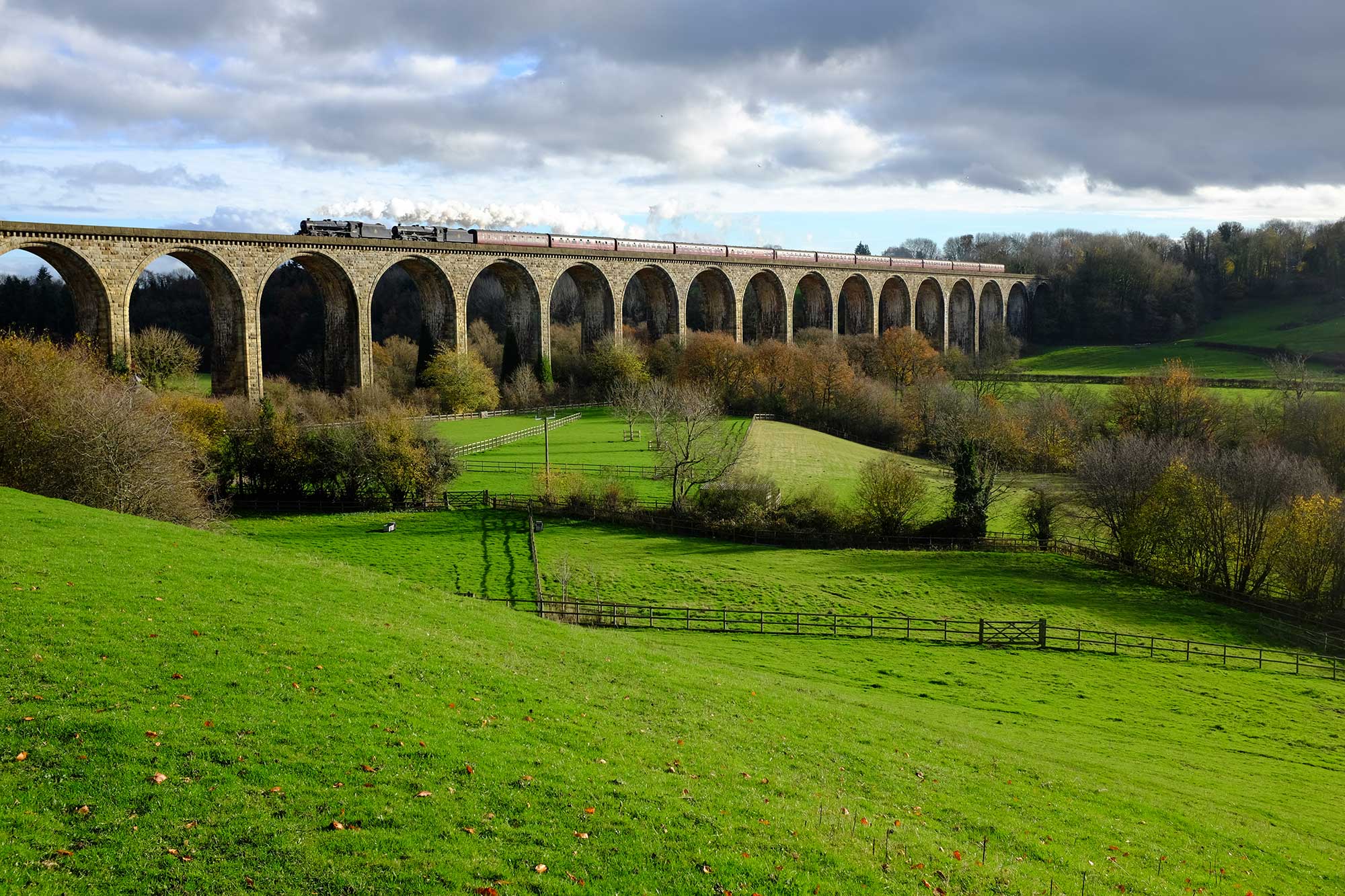
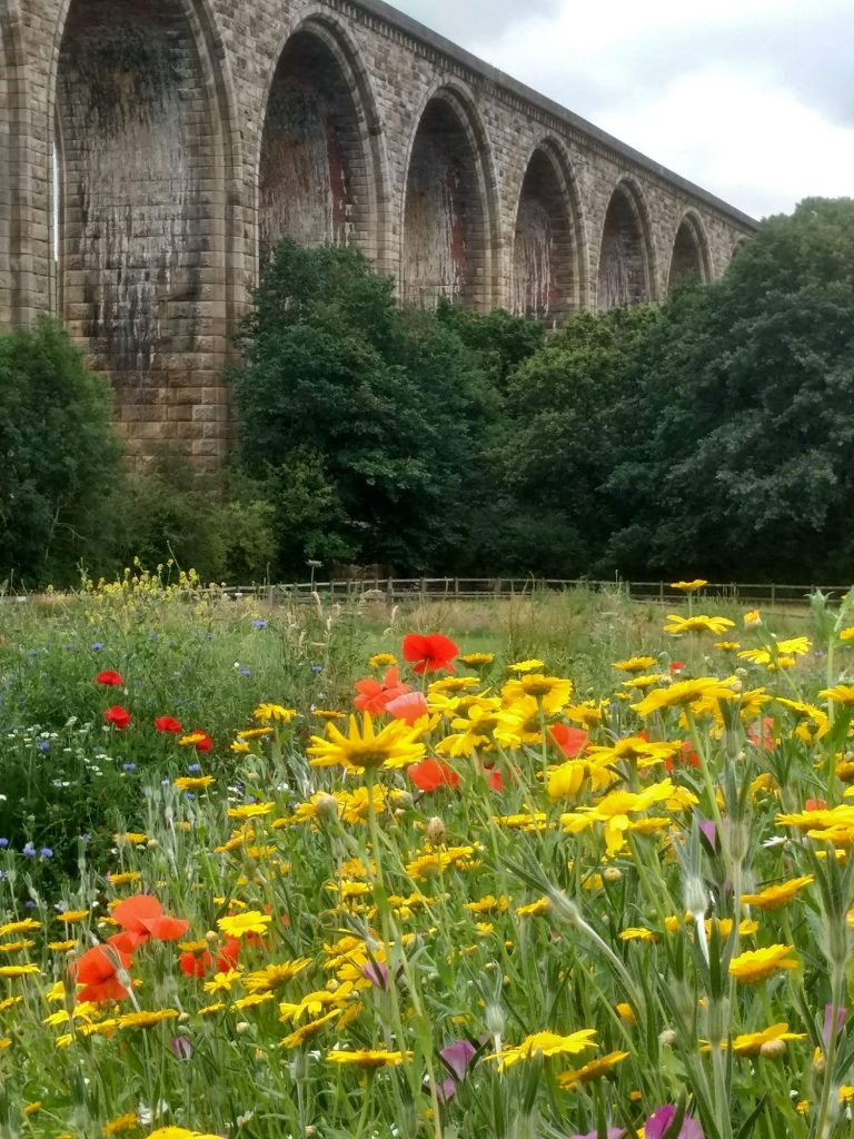
Tŷ Mawr Country Park
Tŷ Mawr Country Park sits on the banks of the River Dee, beneath the impressive stone arches of the Cefn Viaduct.
The Country Park is home to animals such as donkeys, pigs and goats, and even llamas. Families can visit the animals, and even feed the free-range ducks and chickens. The Park also provides a home for many species of wild flowers, birds, insects and wild animals that thrive on the land which is never treated with any harmful chemicals of pesticides.
In the summer the hay meadows are full of colour, and families can come and enjoy a picnic amid the beautiful scenery.
Tŷ Mawr is the ideal place for walking, whether it’s a short circular stroll around the Park, or the starting point for longer trails including the Cefn Mawr Heritage Trail, which takes you on a tour of the historic village of Cefn Mawr, exploring its important industrial heritage and stunning views of the Dee Valley.
Cefn Mawr was a new town created by the opportunities the canal brought, when a settlement grew up around stone quarries, ironworks, clay works and coal mines. A Tramway once ran through Cefn Mawr behind the main street. Indeed, many of Cefn Mawr’s streets began life as tramways.
Tŷ Mawr also sits just a mile from the magnificent Pontcysyllte Aqueduct, a key feature of the Pontcysyllte and Canal World Heritage Site, which can be reached by following the path along the banks of the River Dee.
Interestingly, the ribs for the arches of Pontcysyllte Aqueduct were cast at William Hazeldine’s Plas Kynaston iron foundry in Cefn Mawr.
Moel Fferna
From the summit of Moel Fferna, the highest point of the North Berwyn Way, rolling heather-clad hills stretch away in every direction. There are panoramic views north to the Llantysilio Mountains and the Clwydian Range, west to Arennig and south to the Berwyn Range.
High on the hillside, below the summit of Moel Fferna, a cluster of derelict buildings and grey spoil heaps, radiating like fingers from the central workings, are all that remain of Moel Fferna slate quarry. The slate was quarried underground by carefully blasting the rock, creating huge cavern-like chambers. The huge slate blocks were split into moveable pieces, hoisted onto wagons and pushed to the surface through long tunnels. Here they were split into slates in the large mill.
Deeside Slab Quarry, lower down the hillside, was a surface quarry. You can clearly see the exposed rock faces from where the slabs were taken. They were used for operating tables, whisky vats and for buildings.
At their peak in 1901 the quarries employed over 200 men who walked up the hillside each day from Carrog and Glyndyfrdwy. Demand for slabs gradually dwindled and the slab quarry closed in 1923, following a serious accident that killed two of the remaining three workers.
Moel Fferna Quarry continued longer, closing in 1960 when it had become difficult to recruit quarrymen and competition from mass-produced tiles had reduced profits.
The dark slate extracted was poorer quality than that from the larger Gwynedd quarries and, in cold damp conditions, gradually crumbled and turned back to shale. You can easily find examples of this crumbling slate. Many of the Moel Fferna roofing slates were exported to hotter countries where they were more durable.
You can explore this area further by following the Glyndyfrdwy Nant Y Pandy Audio Trail.