Offa’s Dyke Path National Trail
Offa’s Dyke Path National Trail
-
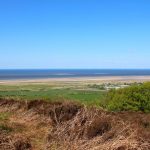
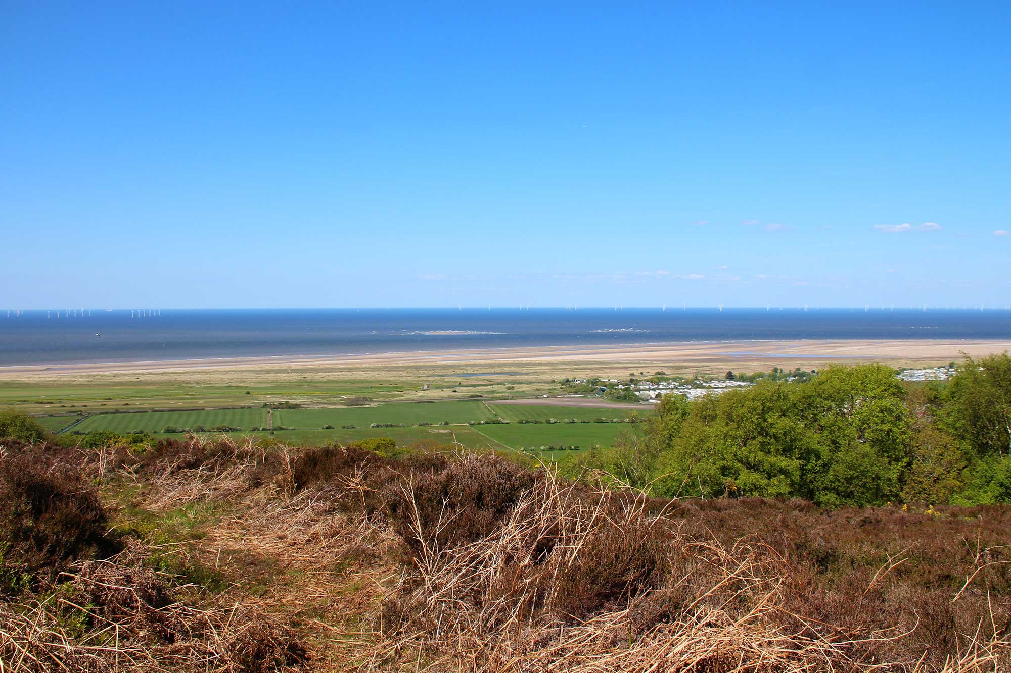 Yr olygfa o Dwyni Gronant o olygfan Coed Bell / View of Gronant, Coed Bell view point
 -
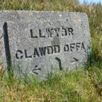
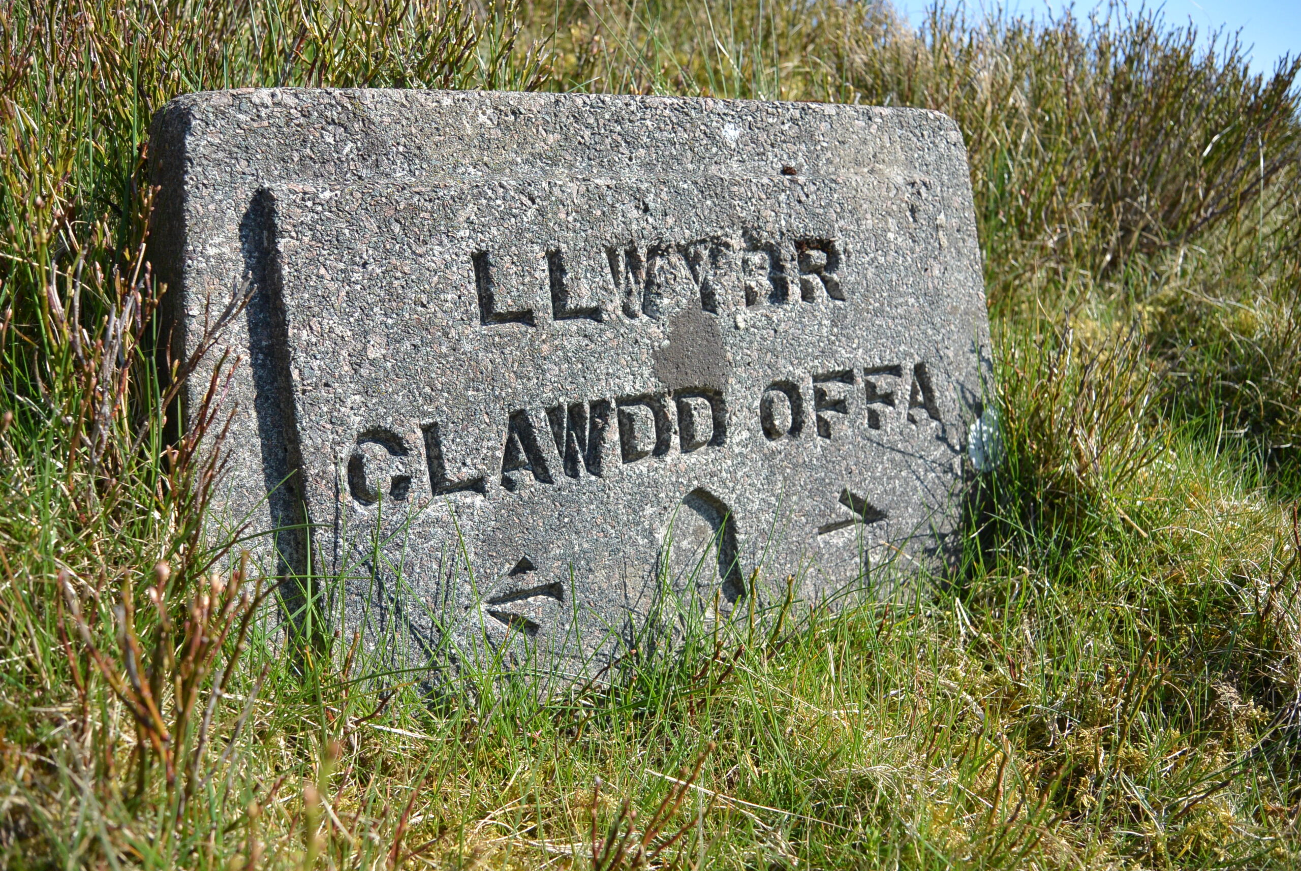 Arwydd Llwybr Cenedlaethol Clawdd Offa / Offa's Dyke Path National Trail Sign
This epic 177-mile route along the English-Welsh border from Chepstow to Prestatyn is based on the 8th century earthwork built by King Offa of Mercia.
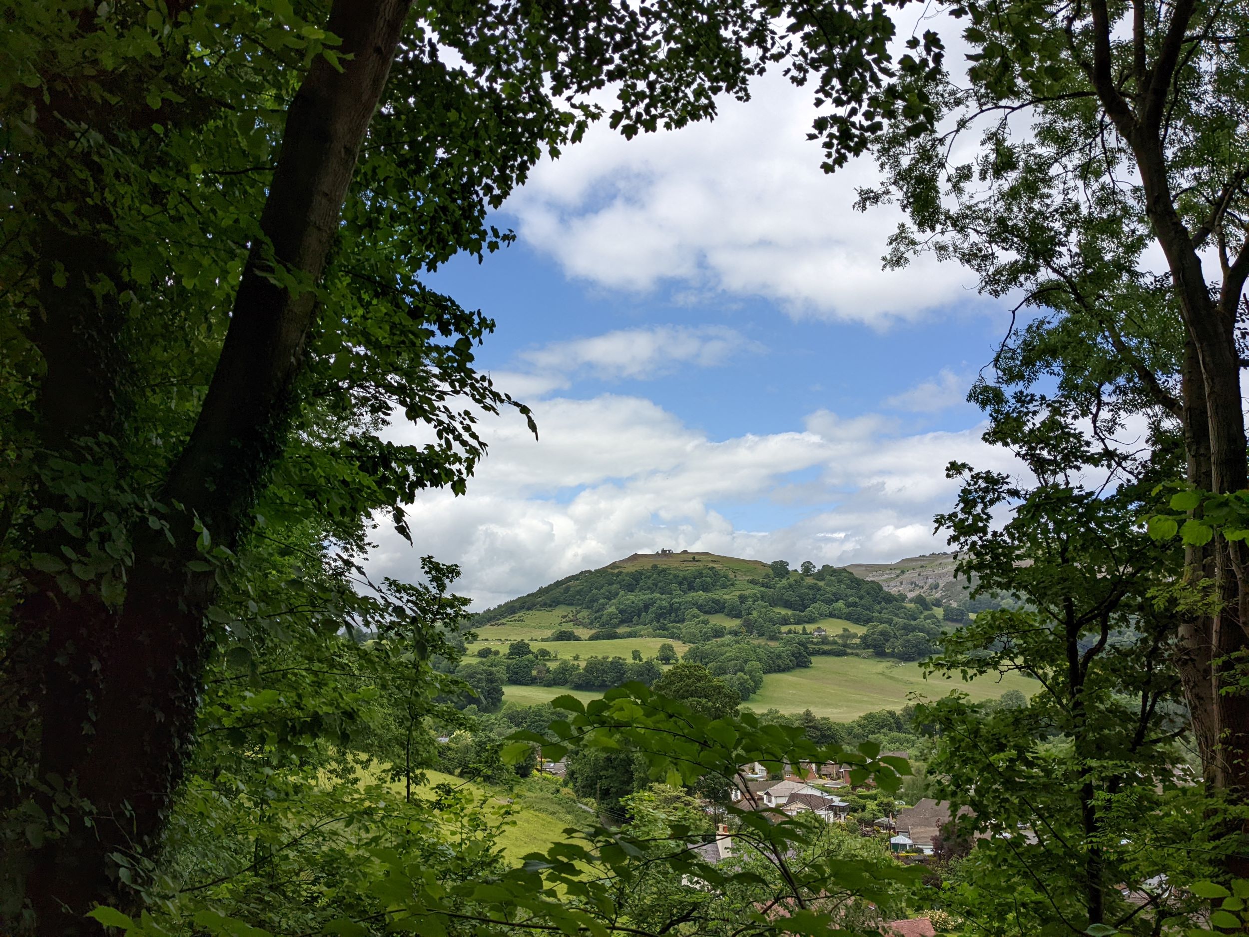
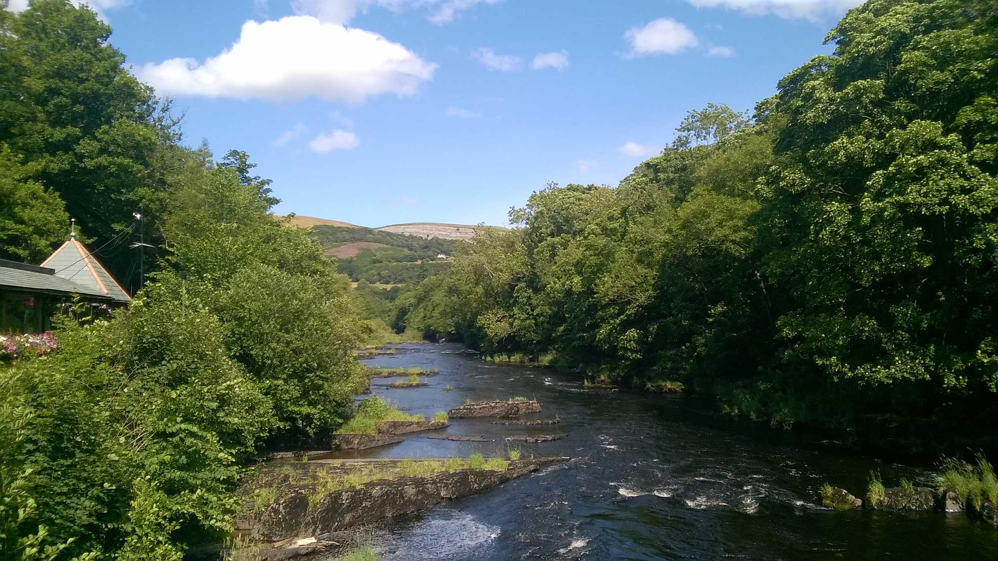
It takes in the spectacular landscapes around Llangollen and the Eglwyseg Escarpment, crosses Ruabon Mountain and Llandegla moors, follows the magnificent chain of hills of the Clwydian Range and finishes via Prestatyn Hillside at Prestatyn seafront on the coast.
It’s a great 3 day hike to catch the train to Chirk and walk to Prestatyn then catch the train home.
Lots of great circular walks use parts of the Offa’s Dyke Path National Trail, so this great artery offers perhaps the best way to explore the AONB on foot
Want to know more?
Is it best to go south to north or north to south? Is it hard work? How long will it take to walk the whole route?
You’ll find answers to these questions and more at the National Trails website
